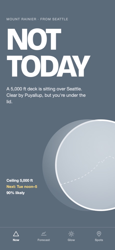
From Bend and 3 other places. Read from the airport weather stations between you and the summit and the cloud layers at the summit.
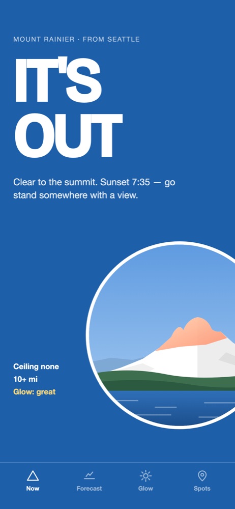
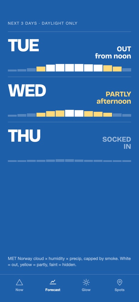
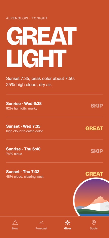
Mount Rainier, Mount Hood, Mount Baker, Mount St. Helens, Denali, The Olympics, Mount Angeles, Mount Baldy, Mount Bachelor and South Sister. One verdict: IT'S OUT, PARTLY OUT or BEHIND CLOUD. The five-day forecast, the sunrise and sunset light, and webcam images for some mountains. $1.99, one time. No subscription, no ads.
Reading the airports along the sightline.
The five-day forecast is in the app.
Get the app, $1.99Distance from Bend
South Sister sits due west of Bend (bearing about 278°), so you see its east face. Sunrise is the safer bet all year: the sun comes up behind you and lights that face. Sunset is trickier: around the equinoxes in March and September the sun goes down within about 10° of the summit bearing, almost directly behind the peak, so you are looking into the glare; in June and December it sets far enough to either side to work.
$1.99, one time. No account needed. No ads in the app.
Each region reads its own weather stations. Twenty miles can be the difference between fog and a clear view.
23 miles to the summit.
17 miles to the summit.
32 miles to the summit.
22 miles to the summit.
Which months and which hours the mountain is most often visible from Bend.
US 20 from Sisters over Santiam Pass and US 97 in Bend, with ODOT cameras and reports within 25 miles of South Sister.
We read the cloud ceilings at the airports between Bend and the summit, the cloud layers at the summit from the MET Norway model, and whether that cloud sits below 10,358 ft. No crowd reports.
Cloud forecasts get less reliable the further out they go. Days four and five are drawn in six-hour steps for that reason, and the forecast stops at five.
Different weather stations, different sky. The same morning can be fog in one and clear in the other, twenty miles apart. Each region page reads its own stations.
Wildfire smoke and haze can hide the mountain on a day the cloud numbers say clear. When the numbers are unsure, the page says so.
Our pick for binoculars: Vortex Diamondback HD 10x42 on Amazon
 MileCheck