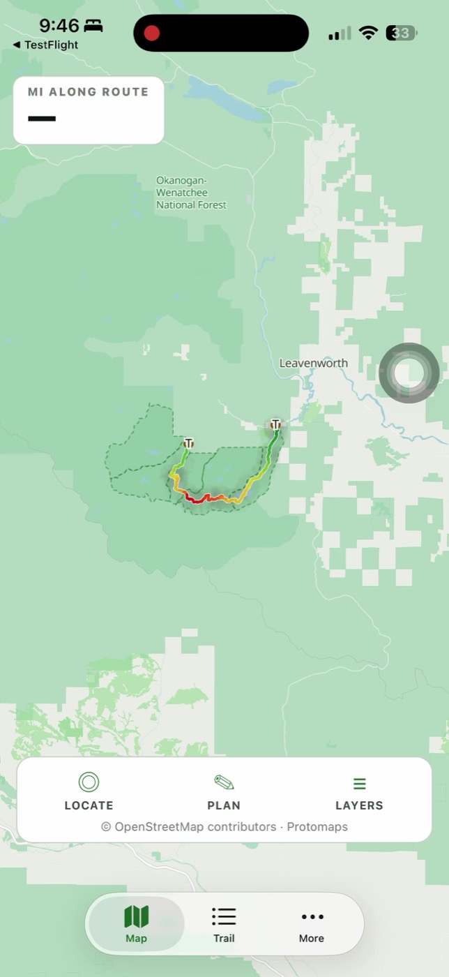
Your permit zone, on the map
Save the zone on your overnight permit and keep its mapped boundary visible. Boundaries are clearly labelled as estimates, not survey lines.
Offline map · permit zones · trail position
A focused iPhone companion for the Enchantments Traverse—built for the permit zone, route and decisions in front of you.
Launching first on iPhone. No account required.
Offline firstMap and route are bundled
Private by defaultNo account or analytics
Clear about uncertaintyMapped estimates stay labelled
Inside the app
General trail guides already cover the facts. This app organizes the pieces that change what you do: your zone, your position, the route ahead and what remains uncertain.
Save the zone on your overnight permit and keep its mapped boundary visible. Boundaries are clearly labelled as estimates, not survey lines.
The map and route ship inside the app. GPS still works in airplane mode, even when the trail has no cell service.
Named lakes, an elevation profile, trailhead access, permit planning and the few route notes that matter before you leave.
Questions worth answering plainly
The short version: it works offline, it is independent, and its mapped data has limits.
Yes. The map and mapped route ship inside the app, and iPhone GPS can still show your location without a cellular signal. Download and test the app before your trip and carry an appropriate backup.
No. It is an independent trail companion from MileCheck LLC. Recreation.gov and the managing Forest Service district remain the authorities for permits, closures and current rules.
From May 15 through October 31, yes: day users need a free self-issued permit, available at the trailhead. Recreation.gov says permits are not required during the remainder of the year. Parking requirements are separate, and overnight use during the controlled season requires the appropriate overnight permit.
No. The route is a crowd-sourced mapped line, distance is measured along that line, elevation is terrain-modeled and permit-zone outlines are mapped estimates. The app labels those limits instead of presenting them as surveyed facts.
Built for a place where confidence matters
Permit-zone outlines are mapped estimates. Route distance comes from a traced line. Elevation is modeled from terrain data. The app says that plainly instead of turning uncertain data into a confident instruction.
Current permit rules remain linked to Recreation.gov. Live road closures hand off to MileCheck.

Coming to iPhone
Want the launch link or have a correction? Send a note directly.